⚠️ Big Island Safety Notice
The Big Island’s environment can change rapidly — ocean conditions, lava flows, weather, and trails may become dangerous without warning. This guide is for educational purposes only and does not replace real-time assessments, posted warnings, or professional guidance. Always check current conditions before entering the water, hiking, or exploring, and do not proceed if conditions appear unsafe — even if a location is described as “safer.”
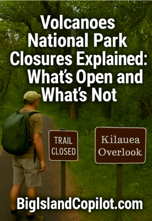
The Big Island is a must-visit destination, offering active volcanoes, lava flows, lush rainforests, and dramatic landscapes. However, Volcanoes National Park Closures do happen; the park is dynamic and constantly changing due to volcanic activity, weather events, and conservation needs.
Understanding what areas are open, which are closed, and why closures happen is essential for visitors.
Why Parts of the Park Close
Closures happen mainly because of:
- Volcanic Hazards – Active lava flows, unstable terrain, or laze plumes.
- Weather & Natural Events – Heavy rain, landslides, flooding, or vog.
- Maintenance & Conservation – Trail repairs or protection of fragile ecosystems.
Recent and Ongoing Closures
1. Chain of Craters Road
- Reason for closures: Lava flows can block the road.
- Tips: Drive only to areas marked open.
- Google Maps Link: Chain of Craters Road
2. Kīlauea Summit Trails
- Reason for closures: Crater instability, gas emissions, lava lake activity.
- Tips: Stick to designated lookout points.
- Google Maps Links:
3. Ocean Entry Areas
- Reason for closures: Laze plumes and unstable lava flows.
- Tips: Use official viewing platforms only.
- Google Maps Link: Pohoiki Ocean Entry / Isaac Hale Beach Park
4. Forest and Rainforest Trails
- Reason for closures: Landslides, tree falls, or conservation.
- Google Maps Links:
How to Know What’s Open
- Official NPS Alerts: Hawai’i Volcanoes National Park Conditions
- USGS Lava Flow Maps: USGS Kīlauea Lava Map
- Rangers & Visitor Centers: Get up-to-date info at Kīlauea Visitor Center
Tips for Visiting the Park Safely
- Check official alerts before arriving.
- Follow all signage; closures protect visitors and the environment.
- Protect yourself from volcanic hazards: wear sturdy shoes and use respirator masks if sensitive to vog.
- Prepare for sudden weather changes—carry rain gear.
How Closures Affect Popular Areas
- Thurston Lava Tube (Nāhuku) – May close after tree falls; reopen quickly.
- Halemaʻumaʻu Lookouts – Summit trail closures may limit viewpoints.
- Volcanic Desert Areas – Boardwalks are safest for fragile lava formations.
Real-World Examples of Closure Impacts
- 2018 Kīlauea Eruption: Chain of Craters Road closed for months.
- 2019 Rainfall Damage: Landslides closed trails like Devastation Trail and Kīpuka Puaulu.
- 2023 Summit Activity: Temporary closure of Halemaʻumaʻu Crater viewpoints.
Making the Most of Your Visit Despite Closures
- Check multiple resources: NPS alerts, USGS lava maps, visitor centers.
- Prioritize open trails and roads: Kīlauea Iki, Devastation Trail, and Akaka Falls if lava zones are closed. Google Maps – Akaka Falls
- Consider guided tours for safe lava viewing.
- Use technology: Mobile apps offer real-time trail and lava updates.
- Flexible scheduling: Prepare alternate routes in case of sudden closures.
Key Takeaways
- Closures are common and protect visitors and ecosystems.
- Reasons include volcanic hazards, weather, and conservation.
- Check official NPS and USGS sources for up-to-date info.
- Follow evergreen safety tips: proper gear, masks, and respect closures.
- Planning flexibility ensures a safe, enjoyable visit despite closures.
Continue reading About the Big Island’s volcanic and geological history here
⚠️ Quick Safety Reminder
Conditions can change suddenly. Always check local conditions, warnings, and official guidance before entering the ocean, lava areas, or trails. Safety is your responsibility.
Aloha, did you like this page?